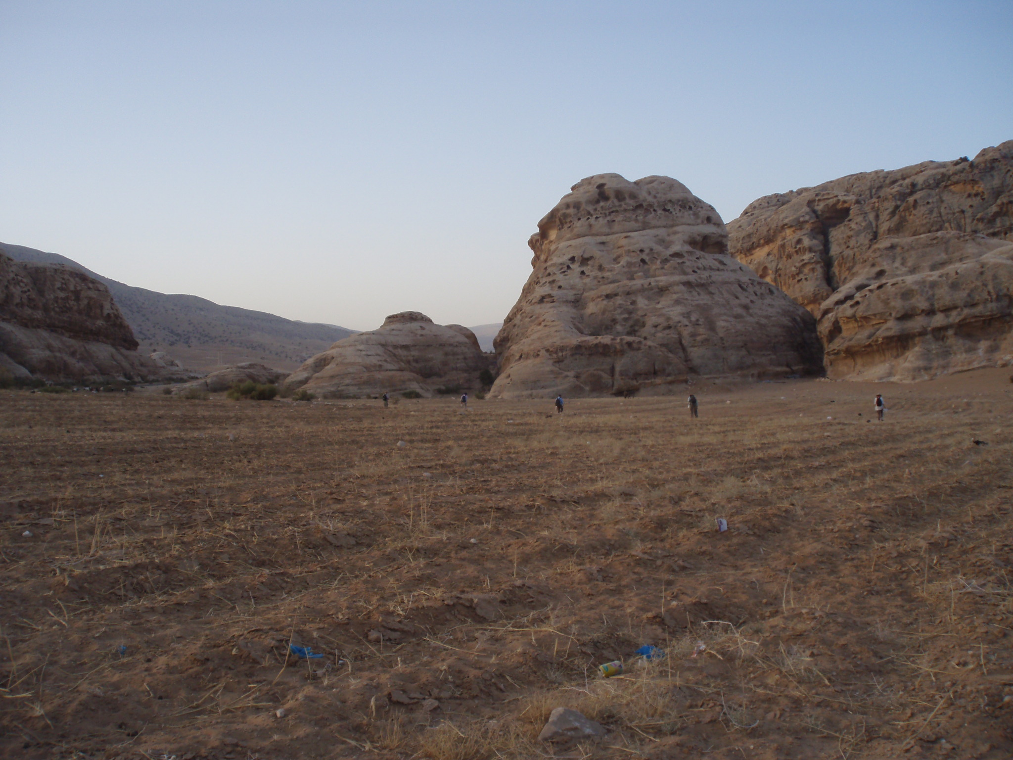
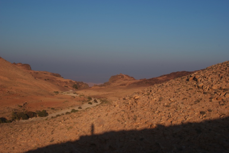
Fieldwalking with the PAWS team (left); looking down Wadi Silaysil at Ras al-Silaysil (right)
About PAWS
The Petra Area and Wadi Silaysil Survey (PAWS) is the regional component of the Brown University Petra Archaeological Project, and is an intensive archaeological survey focused on the area north of the Petra City Center. Begun in 2010, this project aims to document the changing archaeological landscape of the study area in the long term. Such an intensive and diachronic approach, more familiar in the Mediterranean than in the Middle East, has already produced provocative and substantial results after three seasons of fieldwork. Work in the first season concentrated on systematic pedestrian survey in three areas, all between three and seven kilometers north of Petra Proper: Wadi Baqa' (Area a), Wadi Silaysil (Area b), and the vicinity of the Medieval Village at Bayda (Area c). The 2011 season aimed to fill gaps between the 2010 survey areas (Areas, d and f) and expand eastward onto the slopes of the Shara Mountains (Area e). The 2012 season expanded northward and further east (Area g) and slightly south, toward the modern village of Umm Sayhun (Area h). The map below shows the location of these eight areas in relation to Petra and other significant locations. The in total we have covered some 600 hectares, counting all ceramics, lithics, and modern detritus, and collecting all diagnostic ceramics and all lithics. We also carefully documented and drew approximately 1000 features and feature groups, including structures, religious shrines, agricultural installations, a multitude of rock-cut features, and extensive systems of terraces and dams. In addition to the pedestrian survey, important groundwork was laid for geological and ethnographic studies, which will expand in future work. Programs of architectural survey and more extensive, route-based analysis of the built and natural environments were also initiated. Preliminary results indicate that this landscape was occupied from the Paleolithic to the present, and several unexpected patterns became apparent: for example, the ubiquity of later prehistoric lithics, a potential Iron Age presence, and signs of an early (Hellenistic) occupation at the Nabataean village, Ras al-Silaysil. The project aims to better understand relationships between Petra's city and countryside, what was happening in periods that have received relatively little scholarly attention (e.g., Late Prehistoric and Medieval periods), and how this dynamic natural and cultural landscape changed through time.
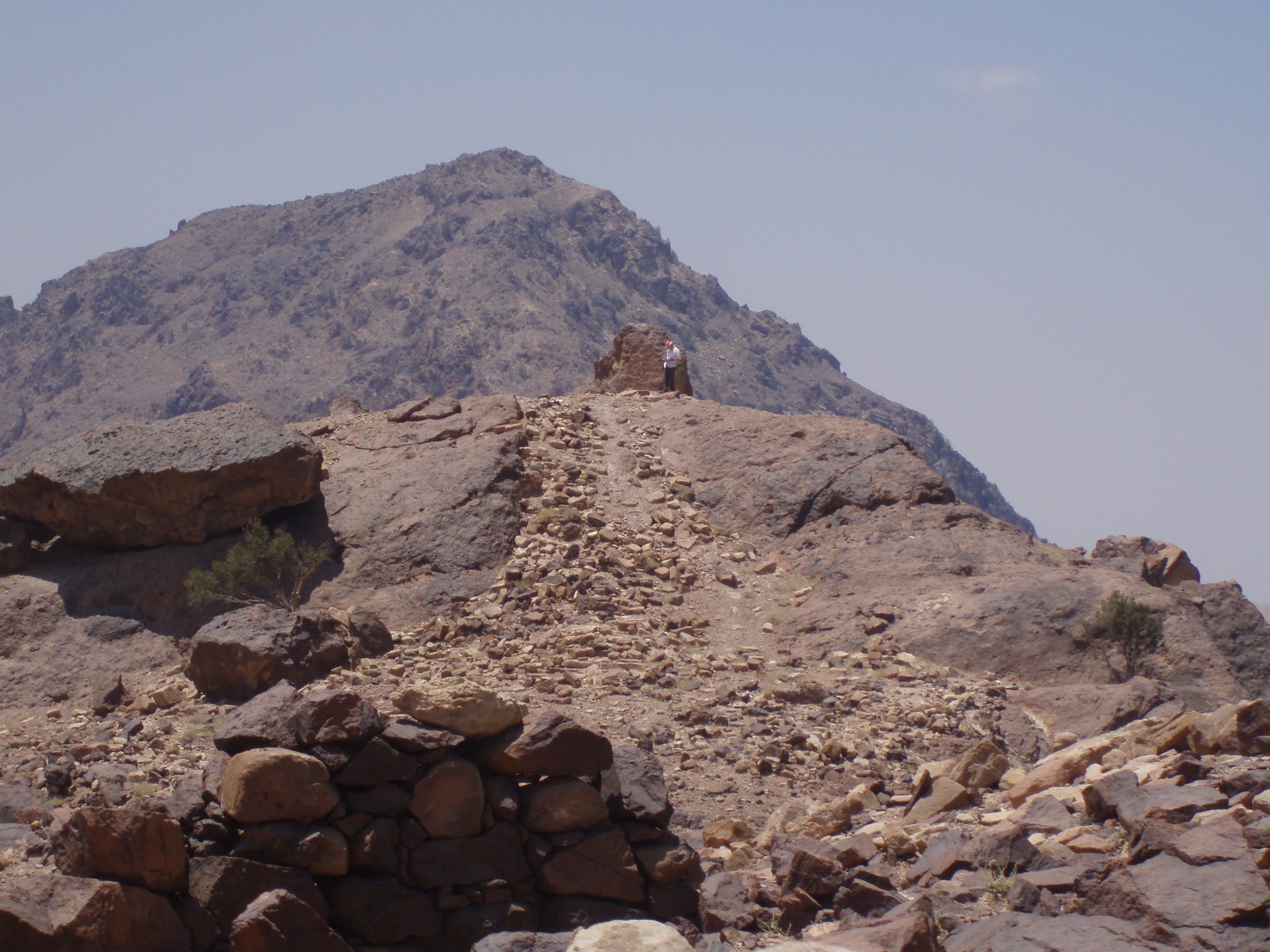
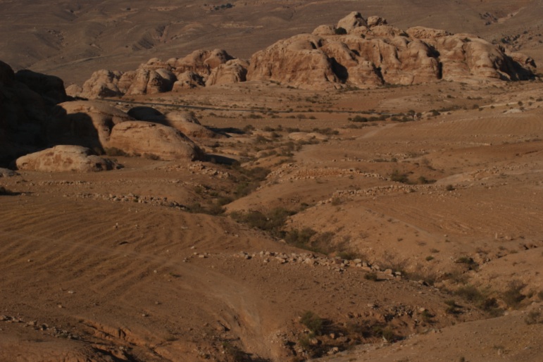
Brad Sekedat documenting the remains of a shrine at Ras al-Silaysil (left); Wadi Baqa' dam system (right)
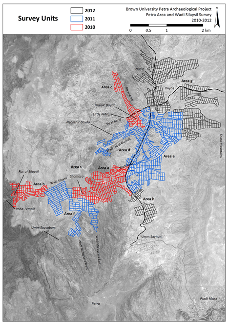
Aerial photos and map of survey areas in relation to Petra and other sites
For more information on the survey see pages on The 2010 Season, The 2011 Season, and The 2012 Season of BUPAP.
Home | People | PUMA | PAWS | BIV | PRP | The 2010 Season | The 2011 Season | The 2012 Season | Bibliography | JIAAW | Credits
